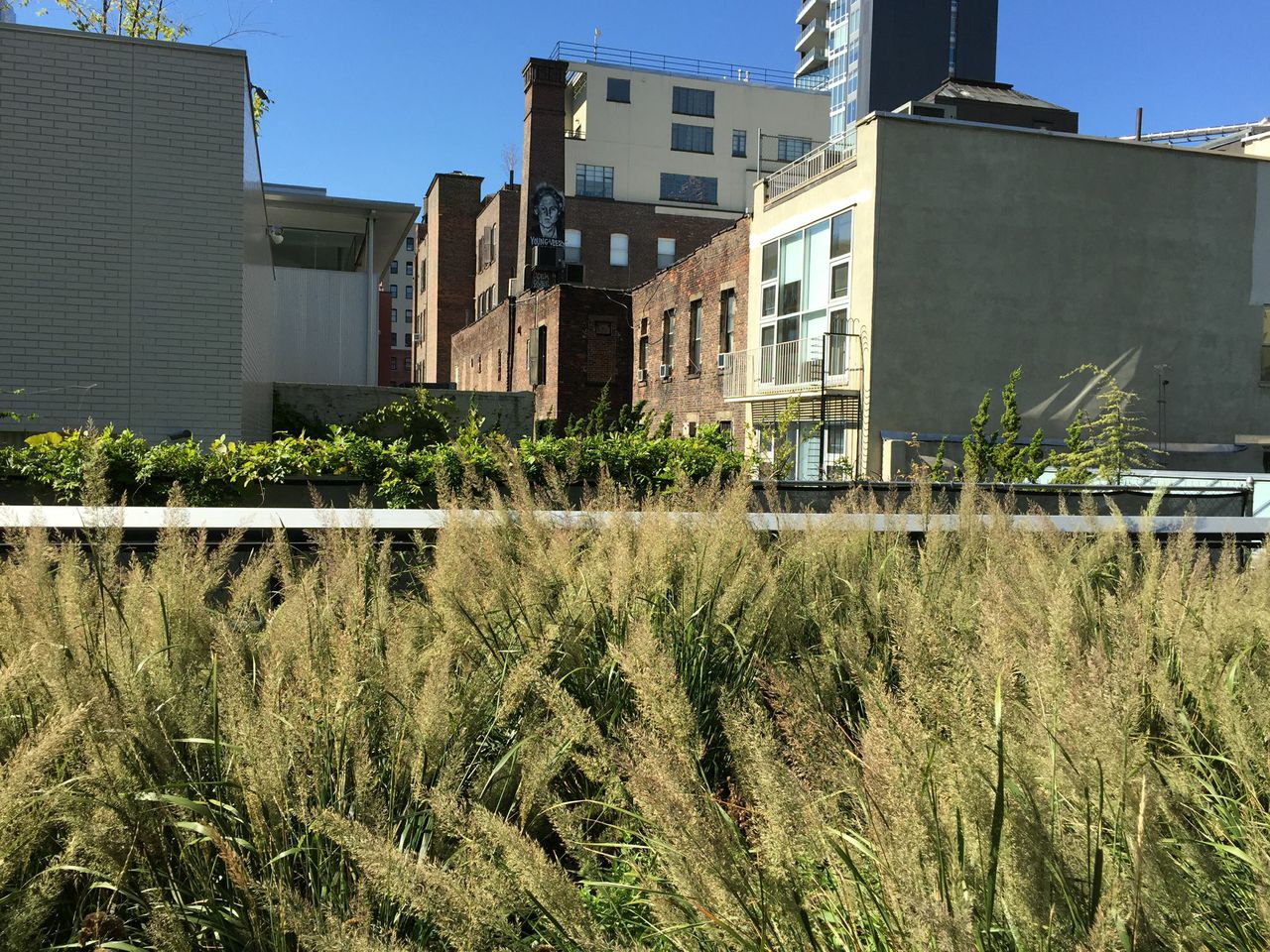

It seemed that 432 Park Avenue would keep going up forever – whenever we would become accustomed to the height of this impossible-to-miss new addition to the New York City skyline, it would add another few floors. However, it has finally topped off; it is the tallest residential building in the Western hemisphere, taller even than the Empire State Building. 432 Park, although officially not as tall as One World Trade because of the height added by its spire, will actually have occupied floors higher than One World Trade. Amazingly it will not hold the title of tallest for long, as even taller buildings are already in the works. All this new development is controversial – as a general rule, change is often difficult, and when the degree of emotional attachment to something is higher, so is the potential reaction. There is no question that Manhattan’s skyline is being changed. However, it’s important to keep in mind that New York City historically has continued in a state of transition rather than a steady state, and this has contributed significantly to its very nature as a city.
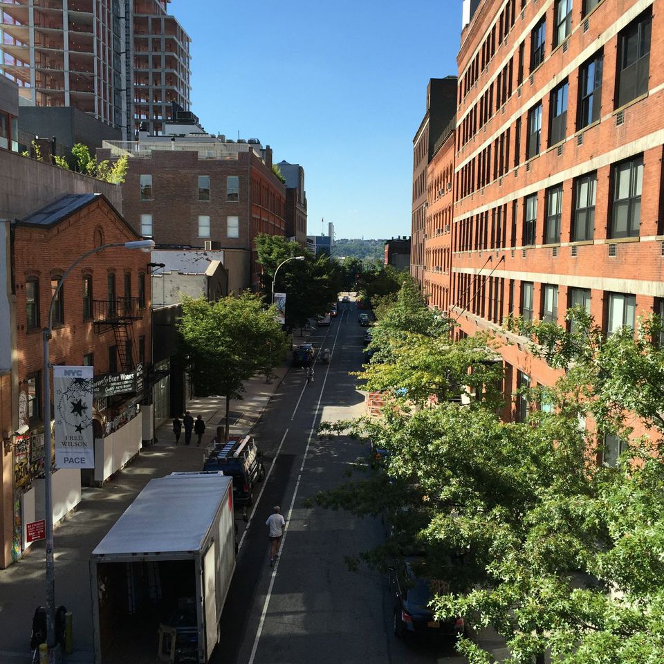
Many gorgeous old buildings were demolished in New York before the passing of the 1966 National Historic Preservation Act (an early site preserved was that of Carnegie Hall in 1967, thank goodness). For example, the Hippodrome was a theater with a seating capacity of 5200 on Sixth Avenue between 43rd and 44th, its history only marked today by the name of the enormous parking garage on the same site. The original Metropolitan Opera House and the original Madison Square Garden were lovely buildings, long since destroyed. The Vanderbilt Residence at 57th and Fifth, the largest private residence ever built in Manhattan, was once where Bergdorf Goodman now sits. A particularly egregious example is the original Penn station, which was graceful and airy. Outrage over its demolition in 1962 to make room for a larger (completely soulless) station and the current Madison Square Garden led to the founding of the New York Landmark Preservation Commission. The Commission’s first hearing was about the fate of the Astor Library – which was preserved and now beautifully houses the Public Theater. The 11 commission members include at least three architects, one historian, one city planner or landscape architect, one real estate agent and one resident of each of the five boroughs, who discuss possible landmarks brought up by the Commissioner, and hold public hearings on Tuesday mornings. This process is not infallible, of course – owners who learn that their building might be considered for historic preservation sometimes destroy either the building or its significant architectural details. It’s also easy to understand the point of view of the owners who might fear that the future value of their property could be affected.
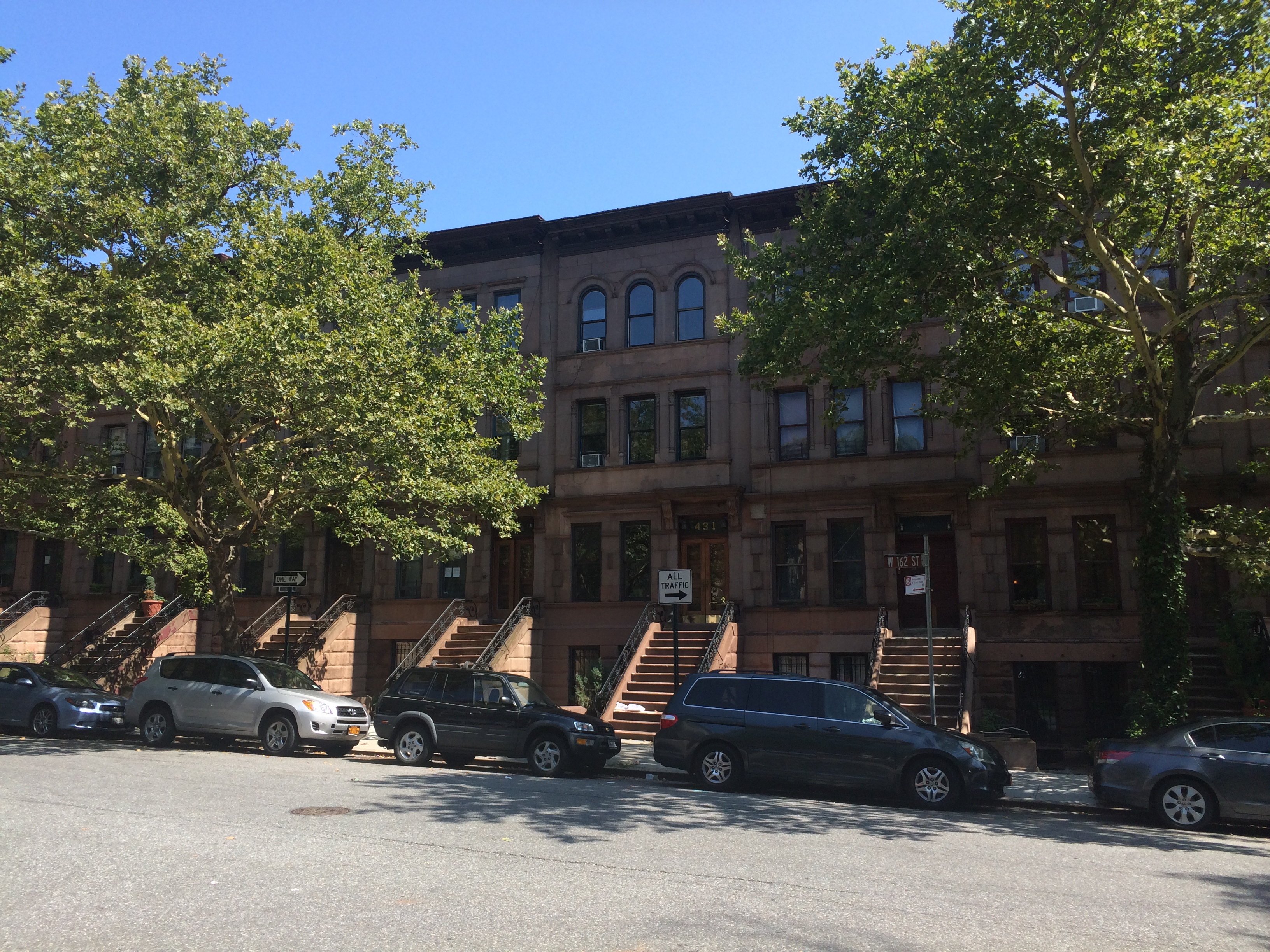
I had an interesting conversation about this issue recently with a friend who is who is getting his Master’s degree in Historic Preservation at Columbia. In an early class, the students were assigned a building to assess and make a presentation in class regarding whether it should be preserved. He was the only one in class to argue that the building he had been assigned could be demolished, that within the area there were better examples of this style of architecture with stronger esthetic and cultural value. His professor told the entire class that this was the point of the exercise – that the goal of historic preservation is not to save everything, but to balance the need of the city for growth with its desire to preserve the best examples of its past. New York City is and should remain a place where a variety of housing can be found; from old brownstones to postwar white brick buildings, from prewar coops to new developments.
Yes, it can be hard to adapt to a new skyline. The Eiffel Tower in Paris was almost universally hated by the French when first erected. Our own original World Trade Center, which radically changed our skyline in the 1970’s, was initially criticized, then accepted, and finally missed. The first Waldorf Astoria hotel was a spectacular building, the largest hotel of its time, and where the inquiry on the sinking of the Titanic was held. It was demolished in 1929, however, to make way for an icon of the NYC skyline that is universally beloved – the Empire State Building. This city has always changed and must continue to do so to retain its fundamental character, like the English language which in its constant borrowing and creating of new words has led to a strong and evocative language. With proper controls in place to ensure that the best examples of our past architecture remain, New York City can continue to evolve and embrace the future, while respecting its past.