Climbing Mount Kilimanjaro: Preparation

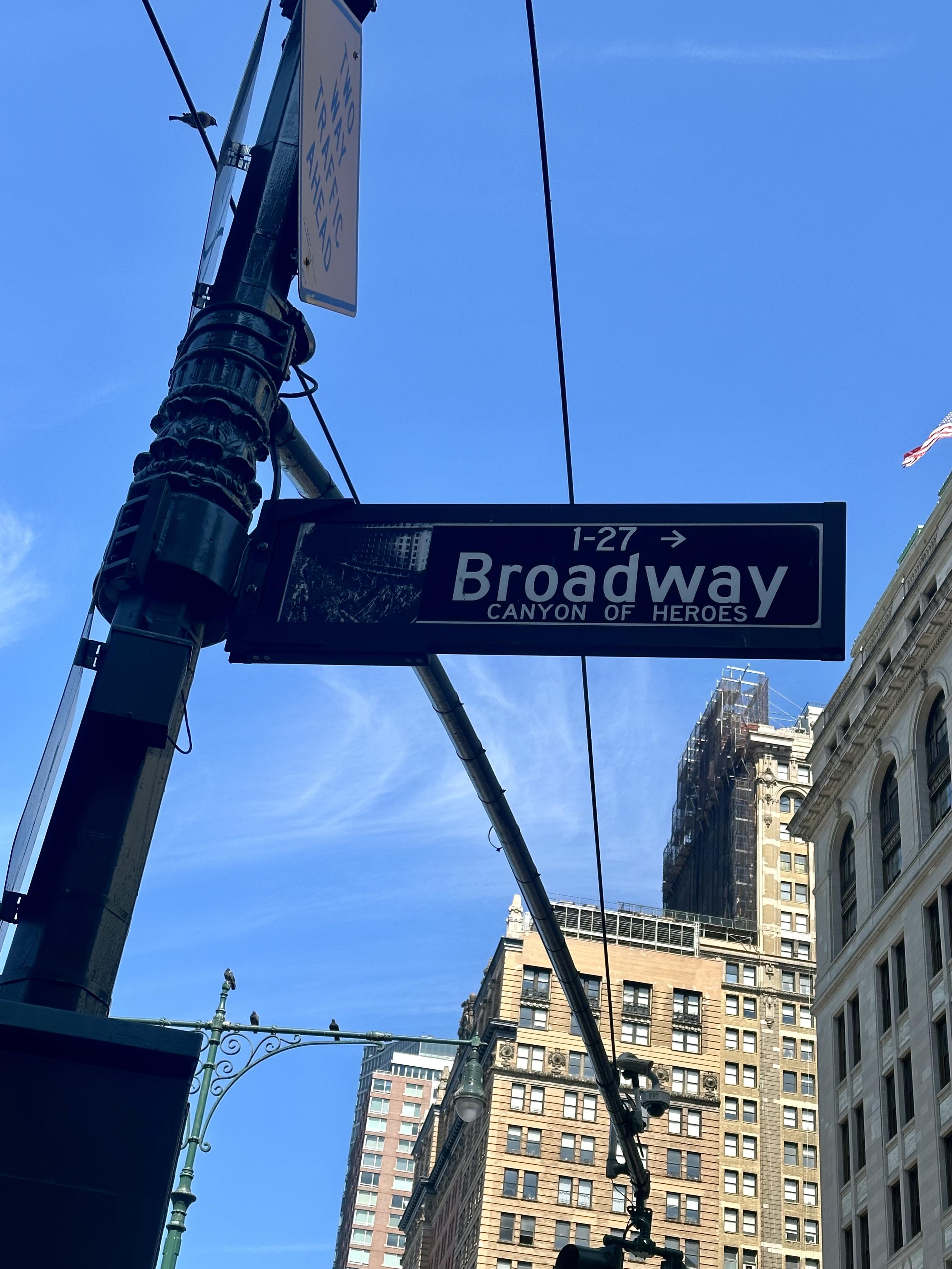
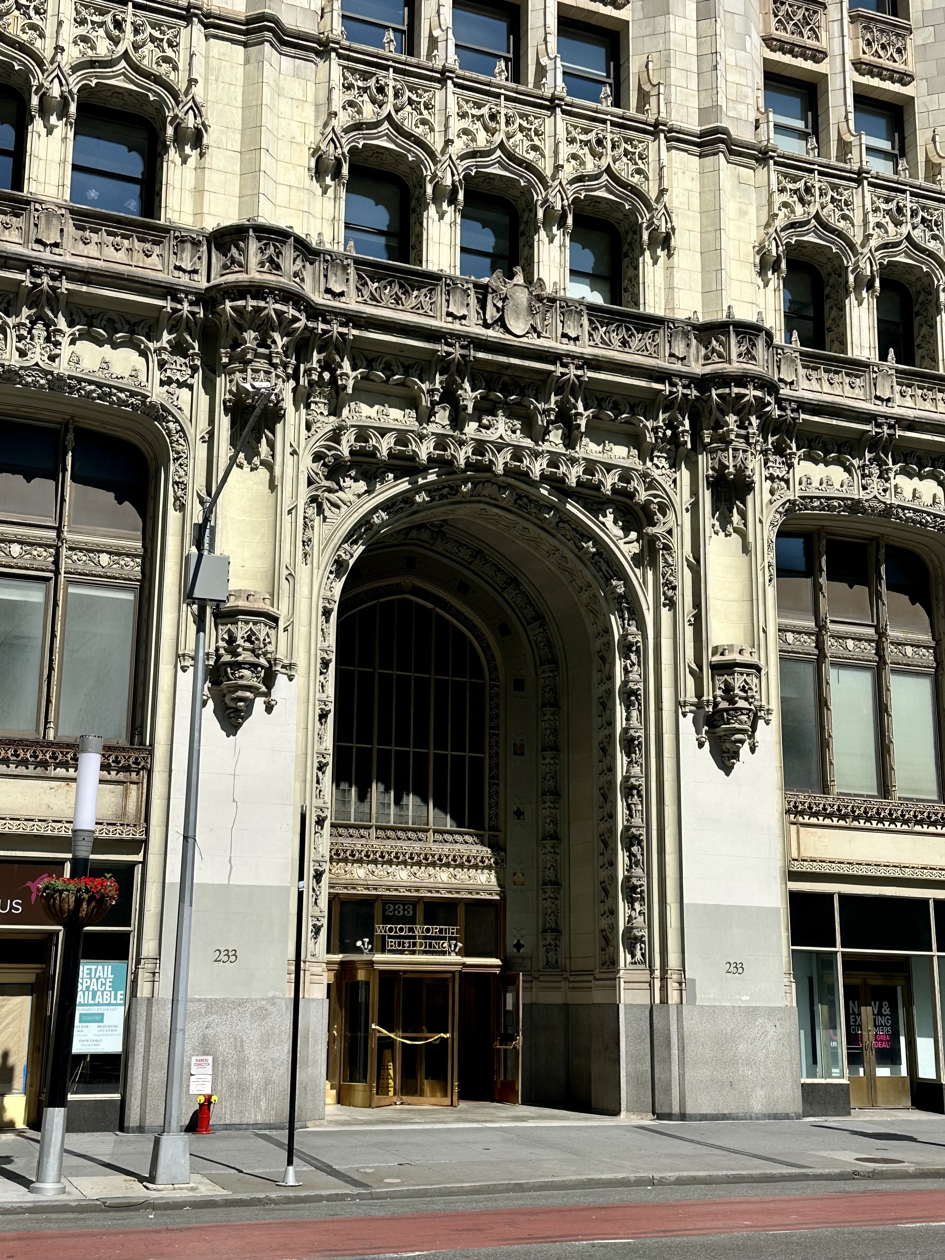
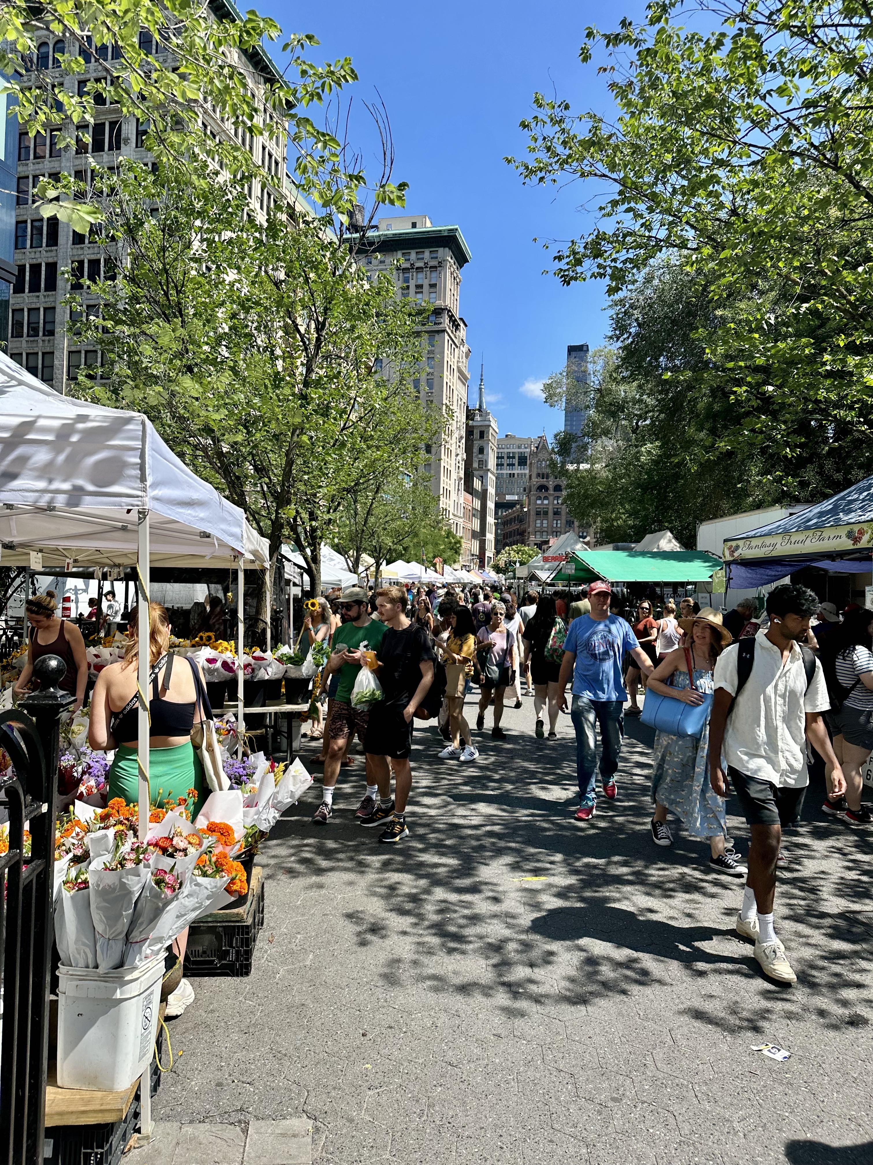
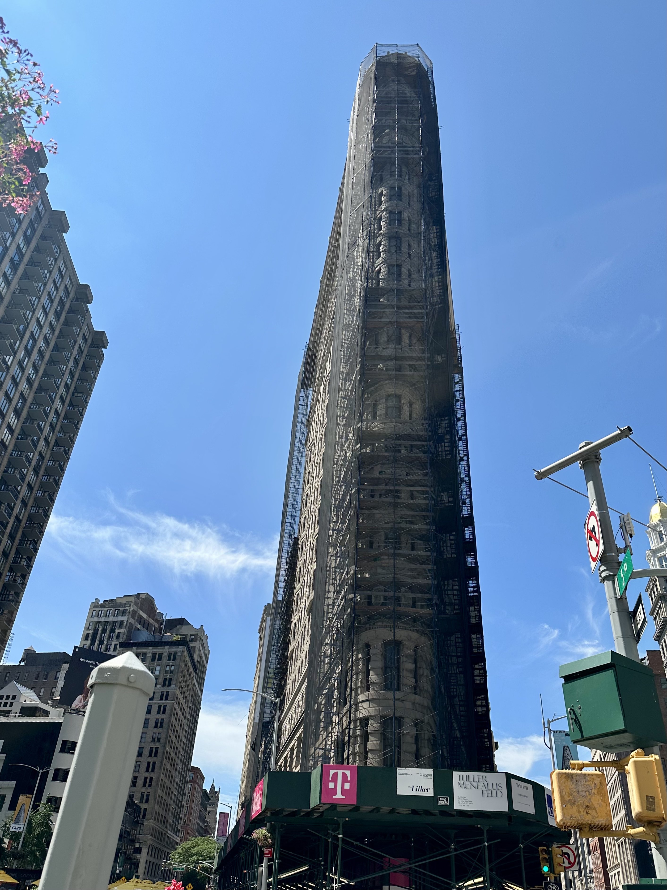
One would only need to glance at this blog or know me a little to know that I walk all over New York City year-round, 50 or miles a week or more with regularity. I also bike – over 3200 miles in the past two years according to my Citibike app stats. I have blogged about walking in London and Paris, and even Los Angeles. My blog tagline is “A New York Real Estate Agent Explores the City.” But this post, and the next few I have planned, will be taking a markedly different tone, as I am about to leave NYC for Tanzania in a few days – to attempt to summit Mount Kilimanjaro, and celebrate afterwards with a photo safari.

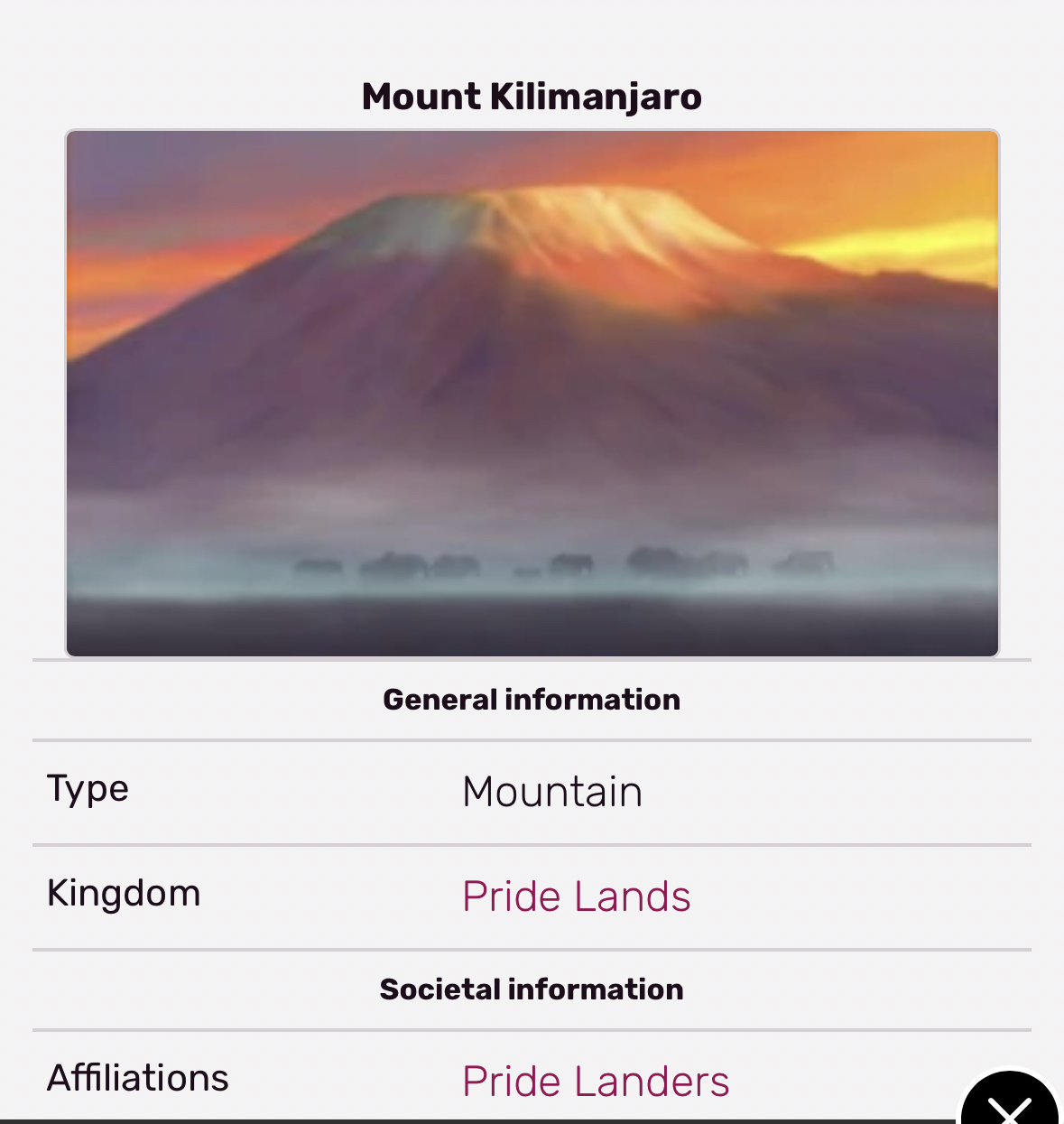
At the top of this post there is a screen grab of Mount Kilimanjaro as seen at the Disney attraction “Soarin’ Over the World.” And just above this paragraph is a Disney wiki entry showing that Mount Kilimanjaro appears in the opening sequence of Disney’s “The Lion King,” as animals travel for the presentation of Simba. This, plus a vague knowledge that Hemingway wrote a book called “The Snows of Kilimanjaro,” was my primary knowledge (absurdly limited! Kilimanjaro is in “Pride Lands” rather than Tanzania) about Kilimanjaro until a family member who enjoys hiking and I started to talk about combining her love for hiking with my desire to do a photo safari somewhere in Africa.

As I began to learn more, more decisions became necessary: which route to take up the mountain (there are several), which guiding company to go with (you are not allowed to climb Kili unguided, nor would I want to), and when to go. Here are some of my thoughts behind these choices:

Which Route

Kilimanjaro is a dormant volcano in Tanzania, with three volcanic cones: Kibo, Mawenzi, and Shira. Kibo has the highest elevation, Uhuru Peak at 5,895 m (19,341 ft) above sea level. Kilimanjaro is the highest free-standing mountain in the world, and, as the highest mountain on the continent of Africa, one of the “Seven Summits” (the highest peak on each continent). For perspective, Kilimanjaro is fourth highest of the Seven Summits, being less tall than Everest, Aconcagua, and Denali. The Marangu route, the only one with huts to stay in rather than camping, is the original way to the top. It is easier in some ways – more gradual, fewer steps since fairly direct – but is less favorable for acclimation to the altitude, leading to a success rate as low as 45%. The Machame route is the most popular route, and is often completed in six to seven days (more days leads to a higher chance of success). The Umbwe route is considered the most challenging route, very steep, and also without as much opportunity for acclimation. The Rongai route approaches from the Kenyan side of Kili, is less steep than Machame, and can be dryer during the rainy seasons (more about time of year later). Northern Circuit is a long route taking nine days, excellent for acclimation, and avoiding the Barranco wall if rock scrambling is a concern. The route I chose, Lemosho, is an eight day trip, considered to be one of the most beautiful journeys on Kili, starting in the rainforest, traveling through heather/moorlands, into Arctic desert, and concluding in the Arctic zone for the summit.

Which Guiding Company

I did a lot of research before booking with Ultimate Kilimanjaro, which has an excellent reputation for support and safety. However, there are many good companies and the most important thing is to book with a company that is a part of KPAP (Kilimanjaro Porters Assistance Project). If a company is certified by KPAP, it means that the local guides and porters are being paid a fair wage, and experience ethical treatment while working on the mountain. You can check on the KPAP site to ensure a company you are considering is on the list. Prices vary a lot between companies, and some of the least expensive companies may cut corners with payment and conditions for the people crucially supporting our climb.

When to go

Kilimanjaro is very near the equator, so temperatures don’t vary significantly between summer (December, January, February) and winter (June, July, August), but there are rainy seasons and more dry seasons. It is definitely easier to climb when you aren’t being rained on virtually every day, with snow once you get high enough, so I picked dry season (end of August). The big rainy season is in March through May, with another rainy season in November/December (usually less rainy). It can rain (or snow) any time of the year, of course, and rain is quite common year-round in the rainforest, but in the dry season you are unlikely (unless very unlucky) to have precipitation every day. The temperature on the mountain changes so much, however, that it is like climbing from the equator to the arctic in just a few days!

Physical training

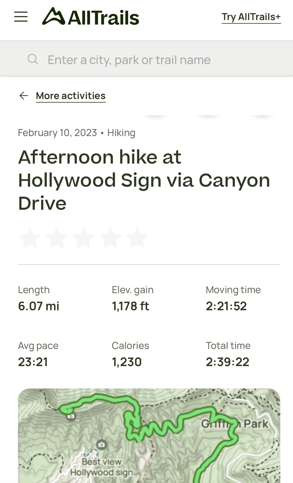
For the Lemosho route, I will hike about 45 miles, with plenty of uphill and downhill elevation, and some rock scrambling. Obviously it is best to be in good physical shape, and hiking is the best exercise for that (in addition to all my daily walking and biking in NYC, I did some hiking in California earlier this year to try out my boots and other gear, see below). Being in good cardio shape, resistance training, squats, and – especially – stairs (up and down, as the effort required for going down 15,000 feet over two days often does a real number on hikers’ quads, calves, and knees) are useful. Hiking with gear plus your fully weighed day pack is good preparation (see here for such a hike I did in Manhattan). You tend to go up slowly, to help with acclimation, and down quickly, to get back to oxygen-rich air!

Gear and clothing

At Kilimanjaro, you start out in the rainforest (at least on the Lemosho route) and end up in the Arctic zone. Temperatures at the summit range between 20 and -20 degrees Fahrenheit (-7 to -29 degrees Celsius), and the wind can vary as well, influencing the perceived temperature. Because of this range of conditions, it is challenging to pack clothes and gear for this trek. There is also a weight limit to how much your porters are allowed to carry, dictated by KPAP. I won’t go into all the details about clothing and gear, as there are many sites (including Ultimate Kilimanjaro’s) to give you sample packing lists and even specific items that are recommended. The most important items are your hiking boots, which must be comfortable, supportive, and waterproof – and well broken-in. There are no huts to stay in on the Lemosho route, so I will be sleeping in a tent. No electricity, although I will take battery packs to keep my few electronic items charged. No running water, no showers. Below is what my duffle for the mountain looks like, with things organized in waterproof bags.

Vaccinations and medications

Although there are no requirements for vaccines to travel to Tanzania other than if you are coming from a place where Yellow Fever is an issue (and coming from the US via a plane change in The Netherlands, this is not an issue for me), the CDC has a list of recommended vaccines, which you can see on their website here. I updated my TDaP, and had Hep A and Typhoid vaccines, and was fully up-to-date on everything else. As for medications, you need anti-malarials (and there are various kinds with different pluses and minuses, so look at the CDC site and talk to your doctor – all require a prescription) and you can choose to take acetazolamide (also a prescription), which may help with altitude sickness, and ibuprofen (over-the-counter) for sore muscles and symptoms of altitude sickness. Most people who are unable to summit, who need to be evacuated, or experience severe illness on the mountain are experiencing the effects of extreme altitude on the body. Going up slowly can help your body to adapt to the altitude, but some people are more susceptible than others and even people who have not had trouble with altitude before can have a bad experience on a subsequent trip. Because of lower atmospheric pressure and lower oxygen levels, at 10,000 feet and above, 75% of all people will experience some symptoms of altitude sickness (headache, nausea, dizziness, shortness of breath, loss of appetite, trouble sleeping, fatigue) but Acute Mountain Sickness (AMS) is a more severe form of altitude sickness that can affect the lungs or the brain, and if you have AMS it is crucial that you descend as quickly as possible. On my trek the guide will be checking my pulse rate, blood oxygenation level, and administering the Lake Louise Scoring System by asking questions morning and night. I have agreed that if the guide says I need to descend, I will do it. However, on the Lemosho route, which has multiple opportunities to “climb high/sleep low” (optimal for acclimation) and also takes six days to ascend (two days to descend!), as many as 90% of all climbers on this route are able to summit.

As is clear from the two quotes above, climbing a mountain is often used as a metaphor for life, for overcoming difficulties, and/or for a personal journey. In the next few weeks I will have the literal experience of putting one foot in front of the other and – hopefully – looking back to discover that I have climbed a mountain. But I expect that this physical journey will end up to be an emotional/psychological one as well. I intend to take each day as a grand adventure, focusing on the experience rather than the inconveniences, discomfort, fatigue or the ultimate goal. Although I certainly will do everything within my power to reach the summit, if altitude sickness prevents it, there will be so many other experiences that will make the trip worthwhile. And, after getting down from the mountain, a five-day safari awaits. Hopefully next month I will be posting twice, once about the Kili climb, and once about the safari. (POSTSCRIPT: read about the Kili climb here and the safari afterward here!) It’s almost time to leave – wish me luck!

Walking the length of Broadway – from Battery Park to the top of Inwood

I love walking, and especially walking in New York City, and have written about it often (see old posts here, here, here, and here – among many), and have even compared walking in NYC to walking in London and Paris (see it here) and described walking in the ultimate car city, Los Angeles (see it here). Soon I will be going on a very long walk – I plan to hike Mount Kilimanjaro in Tanzania with a family member (and will be writing about the preparation for that as well as – hopefully – an account of the trip afterwards). (POSTSCRIPT: read about the Kili Climb here, about preparation for it here, and the safari afterward here.) As part of my training as I headed into the final weeks before leaving, I recently did something I have wanted to do for a while – I walked the entire length of Broadway from Battery Park to the tip of Inwood, about 13 miles, with my fully loaded daypack for Kili (including 4 liters of water), wearing my hiking boots, etc. Here’s what my day was like!

Broadway is the only avenue in Manhattan that runs its entire length (and in fact, continues north for two miles into The Bronx and then runs for 18 miles through Westchester County, through the towns of Yonkers, Hastings-On-Hudson, Dobbs Ferry, Irvington, and Tarrytown). It is also a street that does not follow the grid in Manhattan above 14th Street. Much of it follows the Weckquaesgeek trail, a major thoroughfare long before Europeans arrived. It was then widened by the Dutch, and named the “High Way.” When the British took over it was renamed Broadway because of its unusual width. In the 18th Century, Broadway ended just north of Wall Street, and the section below that was Great George Street, but since 1899 Broadway has begun just north of Battery Park, so that is where I began my walk, on a Saturday in late July that was finally not too hot or humid to contemplate such a long walk.

I took the subway to South Ferry (I had thought about biking down but decided not to test my endurance too much!), and began my walk at One Broadway, just north of the Museum of the American Indian. Before too long I encountered the famous Wall Street bull at Broadway’s intersection with Wall and watched people line up to take photos.

Not too far north from there I began reading the markers for the Canyon of Heroes. This is the section of Broadway where ticker tape (from when the financial district had tons of ticker tape paper as a side effect of doing business) parades have celebrated heads of state, winning local sports teams, and special occasions like the end of World War II or the return of Americans who first walked on the moon. It is fun to read these although you will only read those on one side of Broadway if you are trying to make good time. I stayed on the east side of the street for much of the day to take advantage of shade. I also started from the southern end of Broadway and walked north, rather than starting from the north and walking south (I found out later there is a “Broad City” challenge that starts at the northern tip of Manhattan because it was done in an episode of the show). If you do start from the south, you can read the Canyon of Heroes markers more clearly because they aren’t upside-down, and the sun will be more behind you near the middle of the day rather than in your eyes. On the other hand, as I will describe later, the Inwood section of the hike is much more hilly so you might want to get that over with earlier in the day.

Still in the Canyon of Heroes, be sure to appreciate Trinity Church to your left. Trinity’s first church in Manhattan was built in 1698 and was destroyed in the Great Fire of 1776. There was a second building on Wall Street until Trinity Church as we see it now was built in 1846. It was the tallest building in the United States until 1869, and the tallest in NYC until 1890.

Continuing north, if you look to your left, you can catch a glimpse of the Oculus, first on its own and a block later, with One World Trade rising behind it. (I have written before about the Oculus and about One World Trade.) They aren’t actually on Broadway, but St. Paul’s Chapel, which somehow survived 9/11 and was used as a staging area for helping rescue and recovery workers after 9/11, is on Broadway at Fulton. After George Washington was sworn in as President, he went to St. Paul’s for services and the pew he sat on has a plaque noting this.

Continuing north, I passed the Woolworth Building, which was the tallest building in the world from 1913 to 1930, with a height of 792 feet. Perhaps more impressively, over 100 years after it was built, it is still one of the 100 tallest buildings in the United States. It has been converted to residential condos, and the penthouse – which is pretty spectacular, to say the least – recently sold for only $30M (down from over $100M when first listed!) in “white box” state, ready for finishing out to the buyer’s taste and use, but is a very unique space. After passing City Hall (which, built in 1812, is the oldest city hall in the US still used for its original governmental functions) and City Hall Park, I couldn’t resist a smile as I passed Zero Bond. This was the location of my work as a background actor for the final season (as it turned out, the final episode) of Succession, and I had scarfed down some craft services for lunch just outside that building standing next to Matthew Macfadyen (“Tom”). You can read more about that experience here.

After walking through Greenwich Village, the next big event is Union Square, where Broadway begins to cut across the Manhattan grid, creating interesting little parks or “squares.” I was doing this on a Saturday, so the excellent Green Market was in full swing. I had been hydrating up to this point, but decided to buy some fruit and enjoy it (raspberries and red currants) for my first snack of the day.

At 23rd Street, Broadway intersects with Fifth Avenue, and you get a great view of the Flatiron Building (unfortunately scaffolded right now for some facade repair). Completed in 1902, at 20 stories it was considered dangerous and a “folly” for the builder. A National Historic Landmark, The Flatiron Building is now universally adored – it was the fourth most loved building in the United States in a survey in 2019 (behind Falling Water, the Empire State Building, and Coit Tower in San Francisco).

Broadway intersects with Seventh Avenue at 34th Street, home of Macy’s flagship store. The real Santa (of course! come on, watch Miracle on 34th Street) hangs out in Santaland every holiday season, and the Thanksgiving Day Parade ends in front of the store. This building was completed in 1902 and is a National Historic Landmark.

When Broadway crosses 42nd Street, you are at the “Crossroads of the World,” Times Square. Full of screens, neon, costumed performers, street theatre, hordes of confused tourists, and surrounded by Broadway theaters, Times Square is a lot, no question. There’s also no place like it. I actually successfully timed my day to avoid the pre-matinee crowds.

Speaking of Broadway theaters, a few blocks north of Times Square you can see the simply named Broadway Theater, currently the home of Here Lies Love, and the Ed Sullivan Theater, currently home to the Colbert Show. Did you know that most Broadway theaters are not actually on Broadway? There are 41 Broadway theaters (theaters with 500 or more seats, generally between 41st and 54th Streets, with the exception of the Vivian Beaumont a bit north in Lincoln Center at W 65th) but only the Broadway, Winter Garden, and Palace (currently undergoing a multi-year renovation) have addresses on Broadway itself.

When Broadway crosses Eighth at 59th Street, you are at Columbus Circle, looking to your right at the Southwest corner of Central Park. Broadway will continue to move west on the diagonal, intersecting W 66 (at Lincoln Center), and heading through the relative quiet and residential nature of the Upper West Side.

At some point in the W 90s, I stopped in at a random pizza place for a classic NY slice. Around this point I was beginning to tire a bit, but the pizza helped. Later on I stopped at a Mister Softee truck, but as you will see from the rest of this blog post, as I became more tired I took fewer photos.

Continuing north along Broadway into Morningside Heights, I passed Columbia University on my right and Barnard College on my left. Columbia was established as King’s College in 1754 on the grounds of Trinity Church in lower Manhattan, and moved to the current campus in 1896. Columbia is the 5th oldest institution of higher learning in the United States (after Harvard, William & Mary, Yale, and Princeton).

After Morningside Heights, Broadway seemed to get very hilly, and although there are plenty of lovely things to see – Inwood Park deserves its own blog post – I began to get more interested in finishing the trip than in taking pictures.

At the very tip of Manhattan Broadway swung east again, preparing to continue into The Bronx after a bridge over the Harlem River. After trudging to 218th Street, not wanting to go across the bridge, I considered myself to have done the walk, and backtracked to the 215th Street MTA station to catch the 1 train. I felt strong the next day, with no sore muscles, so felt good about the trek in terms of trying out my Kili gear on a long hike. The entire trip, including stops here and there for food, or bathroom breaks, took just under 6 hours. I feel the day would be more fun if you did it with someone over the course of an entire day, took more breaks, didn’t mind veering off Broadway now and then, and considered stopping at 125th Street (or starting there if you want to do the trip heading south instead of north). The most interesting thing to me was how different Broadway is in all its varying incarnations and neighborhoods. Walking it was like a microcosm of Manhattan itself; constantly different, never boring, not a city but more like a series of cities. The length and many-sidedness of Broadway illustrates the thing I love most about New York City – its constant variety and reinvention. Samuel Johnson once famously remarked that if you are bored with London you are bored with life – and to me that is true (I would say, even more true!) of my beloved New York City.